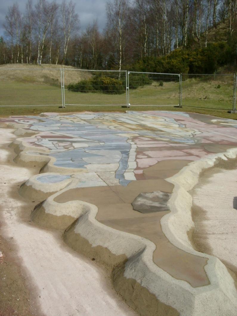
Map foundations were made of reinforced concrete, half a metre thick. The map was correctly orientated North/South. The map jigsaw was then fixed to the foundations, using a dry mix. The coal mines, iron mines and quarries are represented by numbered discs on the map. The discs were drilled into the map and fixed using a cement mix. The main railway lines and some tramroads were then painted onto the map.

Construction at New Fancy showing the substantial concrete foundations

David Yeates painting on the railway lines